
An Outline Map of the World is a simplified representation of the Earth’s continents, countries, and oceans, offering an essential tool for understanding global geography. These maps are widely used in educational settings and are ideal for helping students, researchers, and even travelers develop a solid grasp of the world’s layout. Without the clutter of additional details, an outline map serves as a clean slate where users can fill in information based on their specific learning goals, making it versatile and highly effective for interactive learning.
What is an Outline Map of the World?
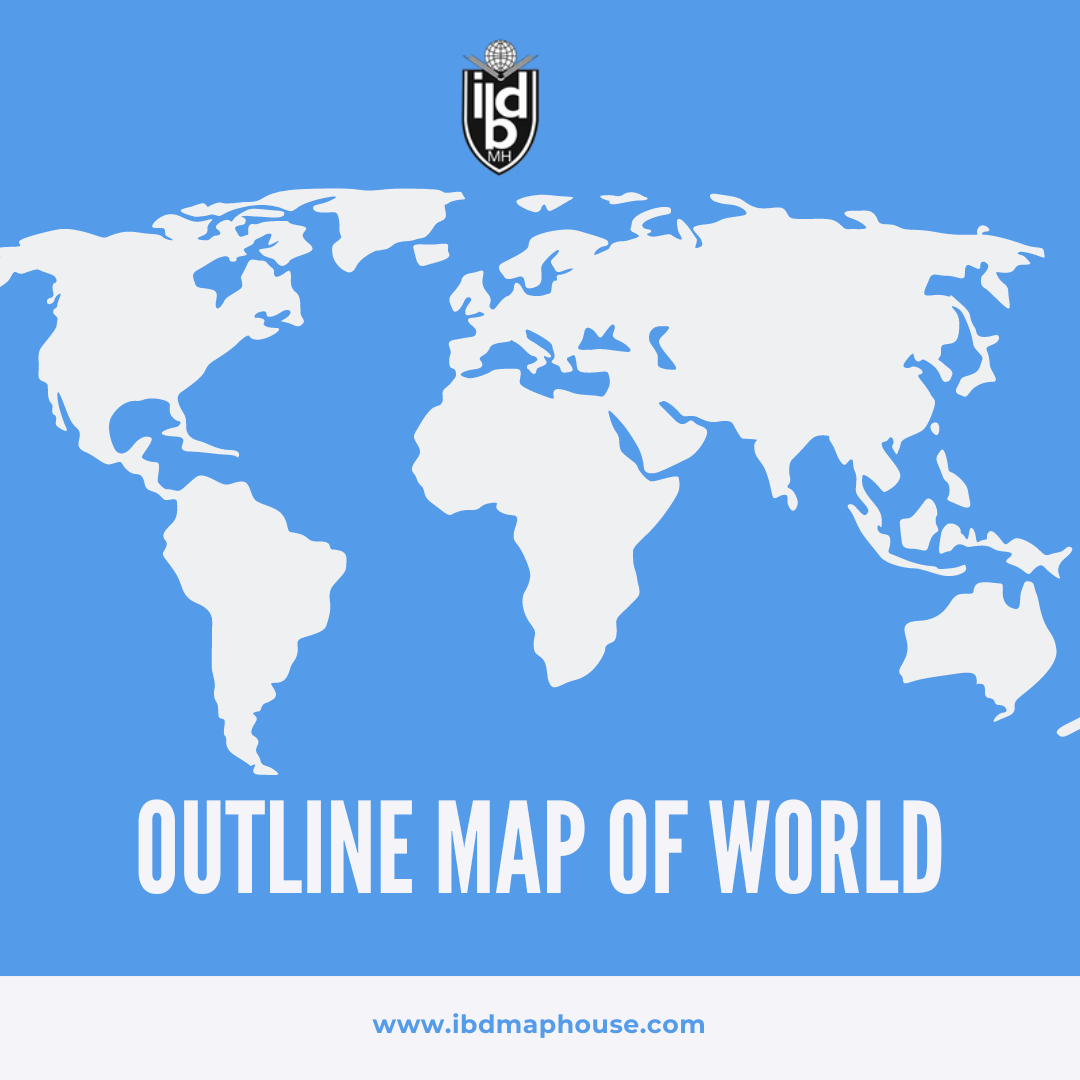
An outline map is a basic geographical tool that displays the contours and boundaries of continents and countries without showing internal details such as city names, borders, or other features. It provides the basic shape of landmasses and water bodies, enabling users to visualize the distribution of continents, countries, and oceans across the globe. Unlike political or physical maps, outline maps focus solely on the overall layout of the world.
Educational Benefits of an Outline Map of the World
- Simplified Learning
One of the primary advantages of an outline map is its simplicity. Without distracting details, students can focus on fundamental geographical concepts such as the size, shape, and location of continents, countries, and oceans. These maps are particularly helpful for young learners who are just beginning to understand world geography, as well as for older students preparing for exams or research.
- Interactive and Engaging
An outline map encourages active learning. Instead of passively reading information, students can engage with the map by labeling countries, marking oceans, and identifying continents themselves. This hands-on approach helps learners retain information better, as they are actively participating in the learning process. For example, students can be asked to mark countries on each continent, identify major oceans, or color-code different regions.
- Versatile Usage
Outline maps are extremely versatile and can be used for a wide range of educational purposes. In geography lessons, students can label countries, continents, and water bodies. In history, they can trace the routes of explorers or mark significant historical events. Similarly, in environmental science, outline maps can be used to mark different climate zones, natural resources, or biodiversity hotspots around the world.
- Develops Spatial Awareness
Using an outline map of the world allows students to understand the spatial relationships between different countries and continents. They can observe how large the continents are in relation to each other, the proximity of different countries, and the distribution of oceans across the globe. This improves spatial reasoning skills and helps learners develop a mental image of the world map.
Key Features of the Outline Map of the World
Accurate Continental Boundaries: The map provides the correct outlines of the continents, allowing users to see the size, shape, and position of each landmass.
Oceans and Seas: Outline maps often include the basic shapes of major oceans such as the Pacific, Atlantic, and Indian Oceans, enabling learners to study the world’s water bodies in relation to landmasses.
Unmarked Political Boundaries: While political borders between countries are not always shown on outline maps, they allow users to draw or label these borders as part of their study or practice.
Equator and Important Lines of Latitude: Many outline maps include key lines of latitude like the Equator, Tropic of Cancer, and Tropic of Capricorn, helping students understand the earth’s climatic zones.
How to Use an Outline Map of the World
- Geography Practice
Outline maps are perfect for geography quizzes and practice. Students can be given blank maps to label the continents, countries, and oceans. By repeatedly practicing on an outline map, learners will build a strong understanding of world geography.
- Cultural and Political Studies
These maps are also ideal for studying world cultures and political boundaries. Students can color-code regions based on cultural traits, population density, or political divisions, gaining insight into global diversity.
- Historical Learning
In history classes, outline maps can be used to track historical events, such as the spread of empires, trade routes, or major conflicts. Students can mark key places and trace the movements of historical figures.
- Global Environmental Studies
Outline maps help in studying environmental topics like deforestation, climate change, or biodiversity. By marking regions affected by natural phenomena, students can visually connect environmental issues to specific parts of the world.
Conclusion
An Outline Map of the World is more than just a blank map—it is a powerful educational tool that enhances learning across multiple subjects. Whether used for geography lessons, history classes, or environmental studies, these maps offer students a simple yet effective way to interact with global information. At Indian Book Depot (Map House), we provide accurate and high-quality outline maps that cater to learners of all levels, ensuring they develop a strong foundation in world geography and beyond.